Paper published in IEEE JSTARS
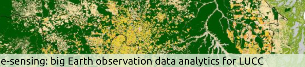
New method for land use classification of satellite image time series
The e-sensing project published a paper on the IEEE Journal Journal of Selected Topics in Applied Earth Observations and Remote Sensing describing a new method for classification of satellite image time series.
ABSTRACT
A major recent trend in remote sensing research is the analysis of satellite image time series for land use and land cover monitoring and mapping. In this paper, we describe the Time-Weighted Dynamic Time Warping algorithm, which improves on previously proposed methods for land cover and land use classification. The method is based on the dynamic time warping method that measures similarity between two temporal sequences.
We modified this method to account for seasonality of land cover types. The resulting algorithm is flexible to account for different cropland systems, tropical forests, and pasture using few training samples. The algorithm had better results than other Dynamic Time Warping variations for land classification. The method is suitable to make land use and land cover maps and has potential for large-scale analysis at country or continental scale, using global data sets such as the EVI time series from the MODIS sensor.
CITATION
Victor Maus, Gilberto Camara, Ricardo Cartaxo, Alber Sanchez, Fernando Ramos, Gilberto Queiroz. A Time-Weighted Dynamic Time Warping Method for Land-Use and Land-Cover Mapping, vol. 9(8):3729-3739, 2016.