The Project
Goal: Conceive, build and deploy a new type of knowledge platform for organization, access, processing and analysis of big Earth observation data.
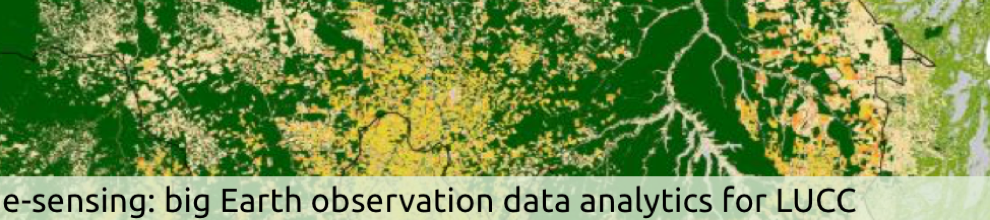
Background: Scientists ignore the time reference inherent to Earth observation data, producing land cover maps taking either a single or at most two time references. As a result, only a small part of the big data sets produced by remote sensing satellite are ever used. This leads to an important research question: How can we use e-science methods and techniques to substantially improve the extraction of land use and land cover change information from big Earth Observation data sets in an open and reproducible way?
Knowledge platform : The key elements of this knowledge platform are:
- A scientific database based on the SciDB innovative array database management system, capable of managing large remote sensing data sets.
- An innovative set of spatiotemporal image analysis methods, mostly based in analysis of satellite image time series. These methods are all developed as open source software to promote reproducibility.
Expected contributions: We aim to make two important contributions:
- New database methods and techniques that use array databases to build a geographical information system that handles big spatial data.
- New data analysis, data mining, and image processing methods to extract land change information from large Earth observation data sets.
Key documents: For more information, please see the project overview, the full full project proposal, or the project presentation.
The "esensing" project is supported by FAPESP (grant 2014/08398-6), under the "e-science" program.